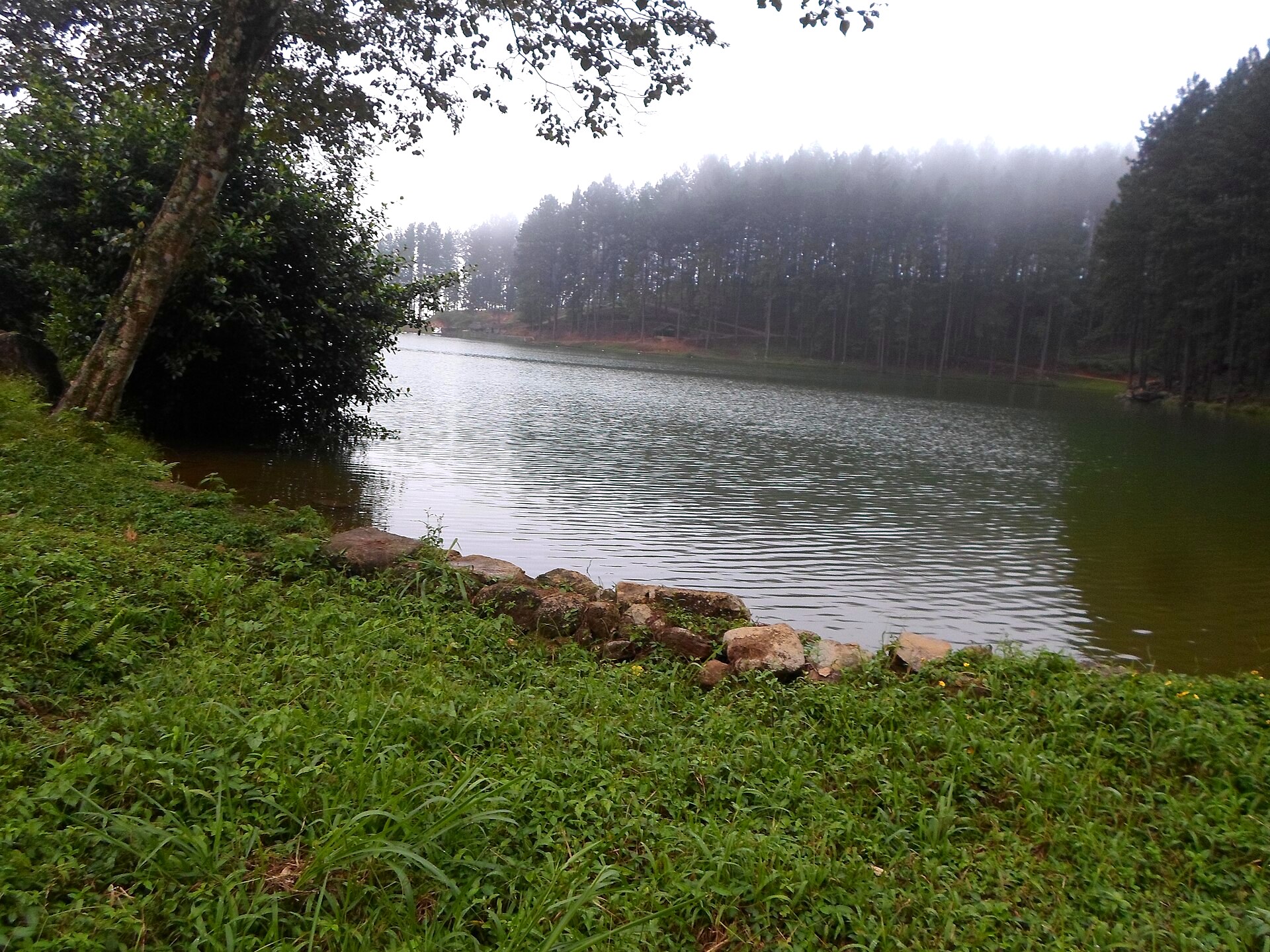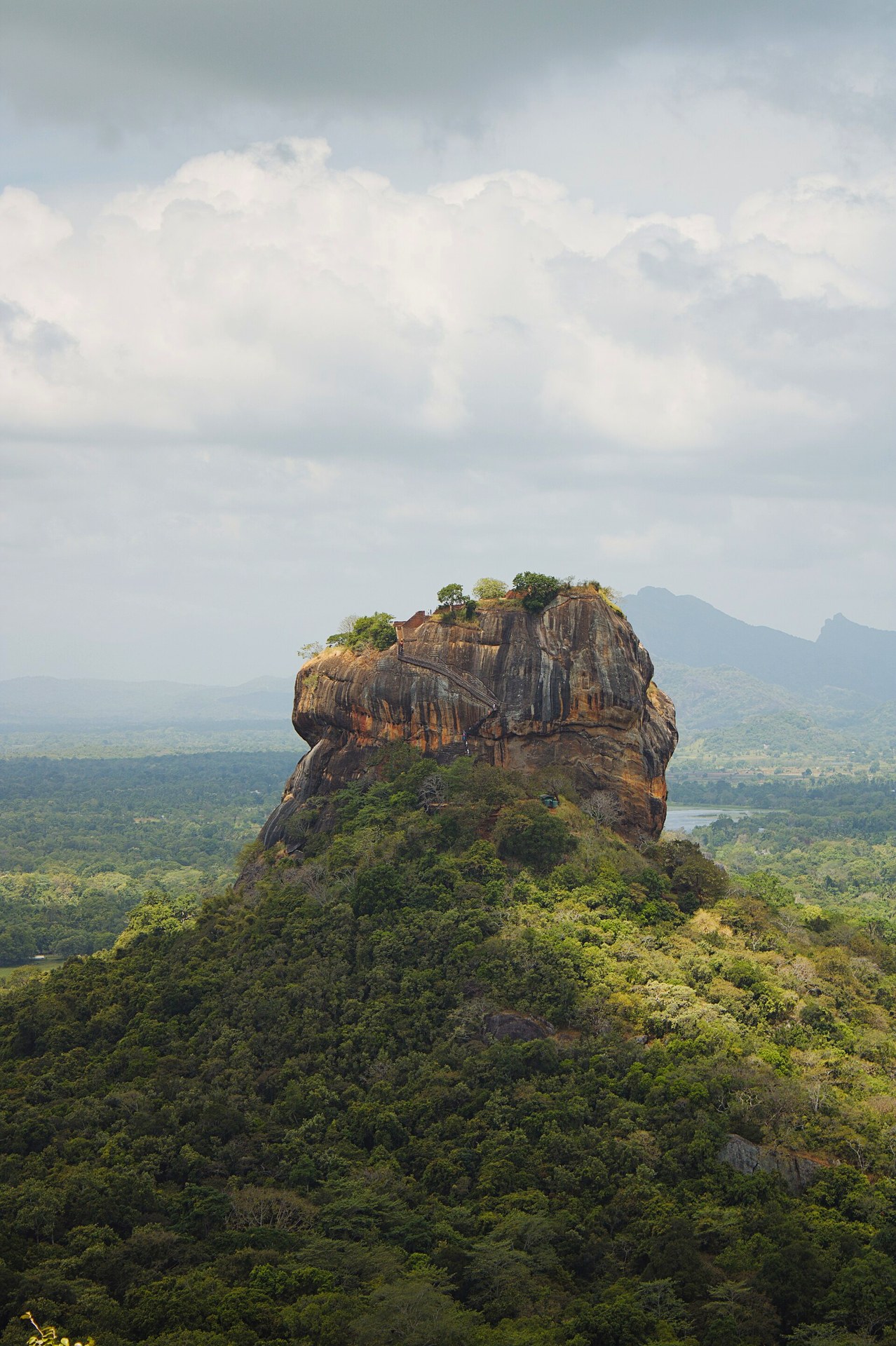
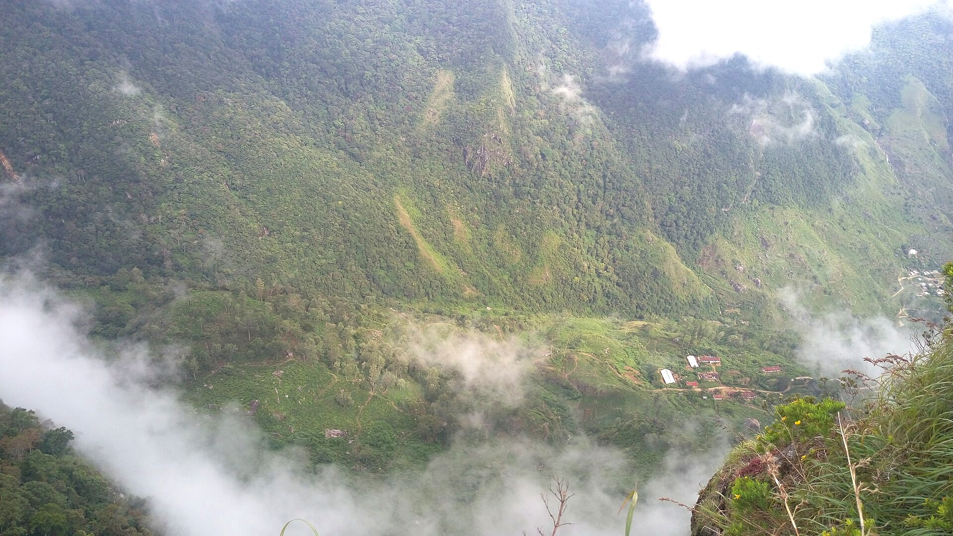
Misty mountain ridges in Sri Lanka's central highlands
Photo: Pamuditha2000

Central Province

Knuckles Mountain Range

The Knuckles Mountain Range, north-east of Kandy, is part of Sri Lanka's UNESCO-listed Central Highlands. It's the place for real hiking: cloud forests, grassland ridges, waterfalls and remote villages such as Meemure. Treks range from half-day walks to multi-day routes. Hike with a local guide, and go in the drier months.

Knuckles Mountain Range at a glance

Region
Central highlands, north-east of Kandy
Best for
Hiking, nature, village life
Best time
Drier months (often January to April); avoid periods of heavy rain
Time needed
Half day to 2–3 days
Getting there
About 1.5–2.5 hours from Kandy, depending on the trailhead

Popular hikes

  • Mini World's End: a short trail to a sheer drop with valley views.
  • Pitawala Pathana: an open grassland plateau.
  • Meemure village: one of Sri Lanka's most remote villages. It's best as an overnight trip.
  • Knuckles peak trails: longer, more demanding routes with a guide.

Tips

  • Hike with a licensed local guide, because trails are not always clear.
  • Expect leeches in wet weather. Leech socks help.
  • Bring rain gear; the weather changes fast.
  • Carry water and snacks, as there are few shops.

Check current details before travelling: prices, opening hours, access and seasonal conditions change.

Knuckles Mountain Range: frequently asked questions

Do I need a guide to hike in Knuckles?

It's strongly recommended. Trails can be unclear, and some areas need permits.

How far is Knuckles from Kandy?

About 1.5–2.5 hours by car, depending on the trailhead.

Is Knuckles good for beginners?

Yes, on shorter trails like Mini World's End. Longer treks need good fitness.

When is the best time to hike Knuckles?

In the drier months. Avoid periods of heavy rain.

Plan a trip that includes Knuckles Mountain Range

Tell us when you'd like to travel and what you love, and we'll suggest a route that fits. There's no obligation.

Plan Your Trip